Transportation

National Land Commission Secretariat
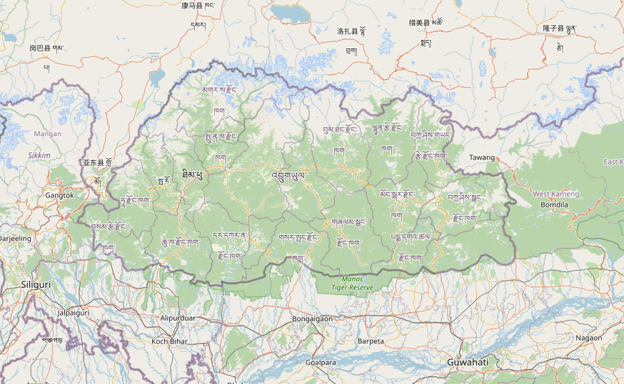
Road Network of Bhutan Category: Open
The road dataset includes Access Roads, Dzongkhag Highways, Primary Highways, Secondary Highways, and Thromde Roads. These classifications are based on their functional hierarchy and administrative importance. The dataset was developed under the coordinate framework of CGI during the National Cadastral Resurvey Program (NCRP). Some portions were updated through digitizing using Google imagery, and topological corrections were applied to address overlaps with the National Highway. Topological corrections were made, especially to ensure proper alignment and eliminate overlaps with the National Highway. This dataset will be updated periodically, and the latest version will be uploaded when updated data is received from MoIT.
Keywords: [#road#access road#highway#dzongkhag road#farm road]
Department of Surface Transport
Bridges Category: Common
The Department of Surface Transport, under the Ministry of Infrastructure and Transport, is responsible for the design, construction, and management of national roads. In recent years, the department has focused on addressing road disaster and risk issues. This has led to the collection and management of geospatial data for inventory, risk reduction, and resilience planning. The department now has comprehensive data on national highways, roads, and bridges, including information on slope failure locations. Additionally, a bridge management database has been established to maintain bridge inventory and related information, facilitating the planning, mitigation, and prioritization of maintenance interventions.
Keywords: [#Transportation#Bridge]