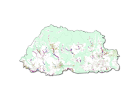
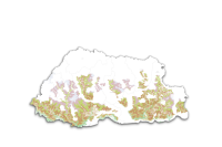
National Land Use Zoning (NLUZ) Baseline Maps 2023
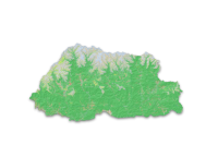
Topographic Map for Photo Voltaic
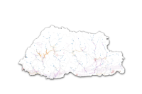
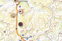
Guide Map
Barshong Lingzhi Laya
Download
Dodeydrak
Download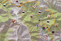
Merak to Jomotshangkha Trek
Download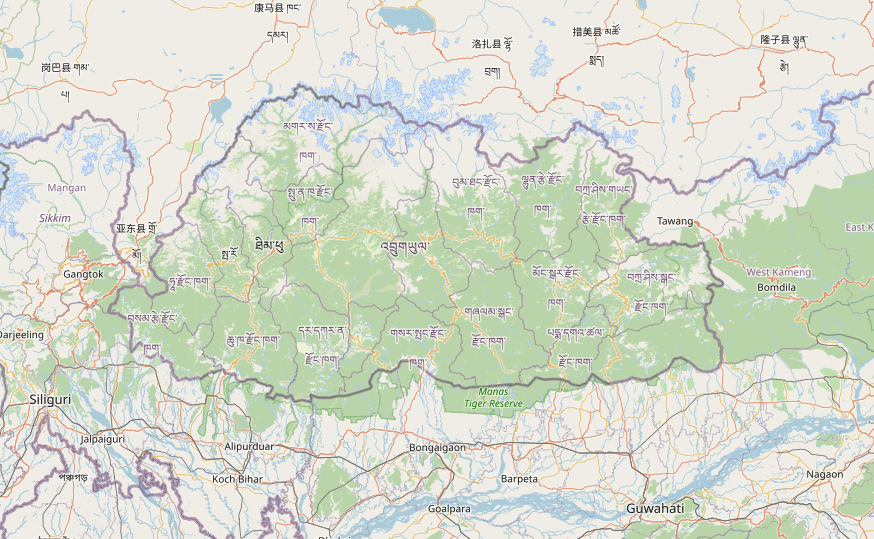
Bumdra
Download Chumphu
Download Dagala Trek(A)
Download Dagala Trek(B)
Download 1A Serbithang
Download 1B Babesa Lam Tag
Download 1C Babesa lam Wog
Download 2A Simtokha E4
Download 2B Above Old Hiighway
Download 2C Tshalu Barp
Download 2D Tshalumarphey
Download 2E Simtokha Dzomg Area
Download 2F Olarongchu Workshp Area
Download 2G Dantak area1
Download 2H Dantak Area2
Download 3A RIM
Download 3B Lubding Area
Download 3C Chang Olakha
Download 3D Pelkhil area
Download 3E Chang Jalu
Download 3F Lungtenphu RBA
Download 4A Changbangdu
Download 4B Changjiji
Download 5A Changgidaphu
Download 5B Changzamtok
Download 5C Lower Changzamtok
Download 5D RBP HQ
Download 6A YHS Area
Download 6B Samazingkha
Download 7A Norzin Wog
Download 7B Norzin Tag
Download 7C IMTRAT
Download 8A Chang Zeri
Download 8B Changkhorlo
Download 8C JDWNRH
Download 9A Changangkha
Download 9B Lower Motithang
Download 9C Upper Motithang
Download 9D Lhengye Densa
Download 10 Zilukha
Download 10A Kawanjangsa
Download 10C TASHICHOZONG
Download 11A Langjophakha
Download 11B Hejo Village
Download 11C Lower Samtenling
Download 11D upper Samtenling
Download 11E India House
Download 12A Jungzhina
Download 12B Pamtsho
Download 12C Taba lamwog
Download 12D Taba Lamtag
Download 13A Upper Dechencholing
Download 13B RBG Complex
Download 13C Dechenholing Lamwog
Download 13D Dechencholing Palace
Download P1 RTC Area
Download P2 Gangchen and Nyezergang
Download P3 Debsi
Download P4 Kabisa
Download P5 Changtagang
Download P6 Begana
Download Super_Zones_ThimphuCity
Download Zones_ThimphuCity
Download 1 BABESA
Download 2 SIMTOKHA
Download 3 LUNGTENPHU
Download 4 CHANGBANGDU
Download 5 CHANGZAMTOK
Download 6 YHS AREA
Download 8 MOTITHANG AREA
Download 9 ZILUKHA
Download 10 HEJO SAMTENLING
Download 11 TABA
Download 12 DECHENCHOLING
Download