Boundaries
Department of Forests and Park Services
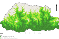
Land Use Land Cover 2016 Category: Common
The LULC (2016) land cover assessment shows a national forest cover of 70.77% (excluding shrubs), of which 45.94% is Broadleaf, 13.53% is Mixed Conifer, 6.02% is Fir, 2.64% is Chir pine and 2.64% is Blue pine. The Alpine Scrub is 3.39%, Shrubs constitute 9.74%, while cultivated agricultural land and meadows account for 2.75% and 2.51% respectively. The snow cover constitutes 5.35% and rocky outcrops 4.15% while water bodies, built up areas, non-built up areas, landslides and moraines constitute less than 1% each
Keywords: [#land use#land cover#settlement#road#water#snow#vegetation#agriculture#forest#grassland]
Department of Water
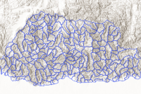
186 Watershed boundary Category: Open
Bhutan is divided into 186 watersheds.
Keywords: [#watershed#area]
Department of Forests and Park Services
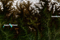
Ramsar Site Category: Common
Ramsar sites are wetlands of international importance. Wetlands include rivers, streams and springs with associated riverine and riparian zones; lake, pond, swamp, marsh, fen and peatland with water that is static or flowing with distinct floral and faunal communities. Wetlands provide fundamental ecosystem services, such as water regulation, filtration and purification, as well as numerous scientific, cultural and recreational values. Wetlands are important for maintenance of the broader ecosystem's health.
Keywords: [#watershed#ramsar]
Department of Water
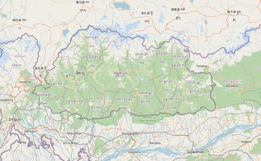
Potential Recharge Area view Category: Common
Land Area in which water percolates through soil to recharge under aquifers that forms marsh, fen, bog, peatland or water, whether natural or artificial, permanent or temporary, with water that is static or flowing, fresh or brackish, including snow and glaciers
Keywords: [#groundwater#hydrology]