Environment
National Land Commission Secretariat
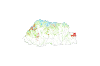
Range Land (Bhutan Tsamdro Data) Category: Open
The tsamdro dataset contains polygon features representing land parcels with unique IDs. Each polygon is identified by a tsamdro code and includes spatial attributes such as area and perimeter, measured in acres. Additionally, each parcel is linked to its local administrative divisions through Gewog and Dzongkhag names, enabling detailed mapping, spatial analysis, and effective administrative management of tsamdro lands.
Keywords: []