Boundaries
National Land Commission Secretariat
Constituency BoundaryCategory: Open
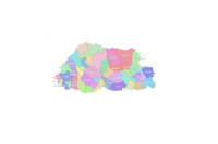
The Constituency Boundary provides an official spatial representation of electoral constituencies, defining the geographic areas where voters elect their representatives. Maps support the Election Commission of Bhutan in constituency delimitation, electoral planning, voter registration, and polling arrangements. As an authoritative reference for electoral administration, the map promotes transparent elections, equal representation, legal boundary definition, and public understanding of constituency jurisdictions.
Keywords: [#constituency boundary#electoral boundary#delimitation]